Exploration Studies
Exploration Studies Department
The tasks of the Geology and Geophysics Division are summarized as follows:
- Maximizing hydrocarbon (gas and oil) reserve through national effort operations (drilling exploratory and appraisal wells) in undeveloped fields, blocks, structures, undrilled stratigraphic phenomena, and unexplored structures, and adding hydrocarbon reserve to the depleted reserve from undeveloped explored and producing fields (Green Field).
- Identifying areas with promising hydrocarbon potential by preparing a plan for 2D seismic surveys of geological structures and exploratory blocks and 3D surveys of oil and gas fields.
- Determining the locations of exploratory and appraisal wells in light of the results of exploratory and regional studies and preparing geological programs.
- Preparing exploratory geological studies for exploratory blocks and undrilled explored formations based on seismic information and information from adjacent wells and evaluation studies for oil and gas fields by building a 3D geological and static model and calculating hydrocarbon reserve using the systems operating in the Division (GeoFrame, Techlog, Petrel, and other advanced programs).
- The Division checks and authenticates the geological information of wells, including (general or basic well information, formation tops, oil shows, core extraction information, well path survey, Drill Stem Tests (DST) and Production Tests (PT). It also performs sampling and checking of well logs in cooperation with Information Technology Division / Information Bank Department.
- Through the Laboratories Department, the Division analyzes all core and oil samples of exploratory and appraisal wells and of foreign companies operating in Iraq with national effort and prepares rock slides of rock clasts and cores of drilled exploration and appraisal wells and core plugs to conduct routine and special analyses on them. The department also stores all rock clasts and core samples of all exploratory and appraisal wells throughout Iraq.
Exploration Studies Department It consists of four sections:
- Geophysical Studies Section
- Integrated Geological and Geophysical Studies Section
- Remote Sensing and Geographic Information Systems Section
- Well Drilling Section
Geophysical Studies Section
This section works on conducting structural seismic interpretations and structural pattern analyses of the studied areas on Petrel & GoeFrame. It also works on interpreting potential geophysical data such as gravity and magnetic information using the GeoSoft program and other supporting software.
Integrated Geological and Geophysical Studies Section
This division conducts (sequential and facies) seismic stratigraphic analyses on Petrel, gives a complete description of the elements and processes of the petroleum system of the studied areas and determines hydrocarbon potential and well drilling sites and risk elements in the exploration plans on Petrel, including the PSQL application as well as the PetroMod program if a license is obtained. It also conducts seismic interpretations for the purposes of reservoir characterization and support for exploration and development plans, including interpretations of 4D seismic information using HR and Petrel software.
Remote Sensing and Geographic Information Systems Section
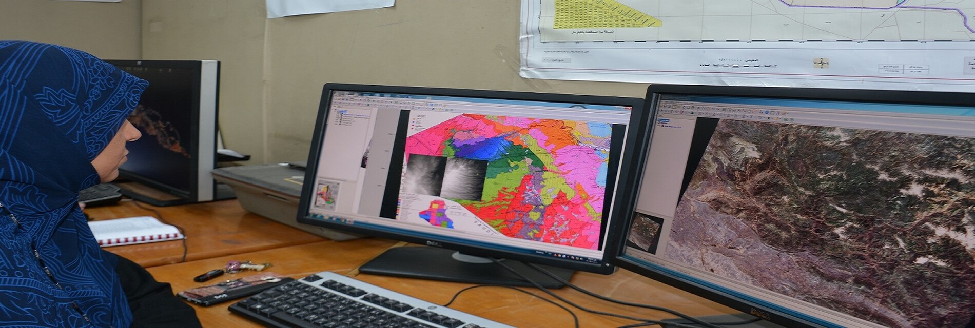
This section interprets remote sensing data of various types using PCI, Envi, AirDas programs. It prepares and manages the Geographic Information Systems database in coordination with the Information Bank Department and the Field Operation Division and produces maps for various purposes using ArcGIS program. The section also performs the tasks of a site geologist in exploratory and evaluation drilling sites and completes the preparation of the final geological report. This unit uses all the equipment of the site geological laboratory and office work software.
In addition, it supervises and coordinates the work of the Drilling Sites Unit, ensures communication and remote follow-up, and prepares daily reports on the drilling process for the attention of higher authorities and specialists in the company, using Real Time application for the purpose of following up on the drilling process from a special operations room, in the event that this application is owned.
Well Drilling Section
- Preparing geological forecast programs that include tops of geological formations, depths of casing setting, the number of well drilling stages, and determining the types of required logs and the specifications of drilling mud in light of the subsurface conditions.
- Performing geological and engineering control work on exploratory wells, including the following:
- A detailed description of the penetrated section, including determining the types and specifications of rocks, oil shows areas, and gas emission areas.
- Determining the areas of core cutting, their lengths, and their number.
- Predicting geologically dangerous areas, high- and low-pressure areas, and areas of salt deposits.
- Determining the types of required tests, the depths of perforation areas, and checking field information.
- Participating in preparing well drilling program in cooperation with the relevant authorities.
- Recording drilling parameters
- Recording and documenting loss zones and flow zones of drilling mud.
- Recording the validity of the cementing process and identifying its weak areas.
- Documenting all information sent by site geologists and engineers and preparing daily reports to higher authorities.
- Preparing a general technical report on the geology of the area.
- Preparing economic feasibility studies for exploratory drilling projects
