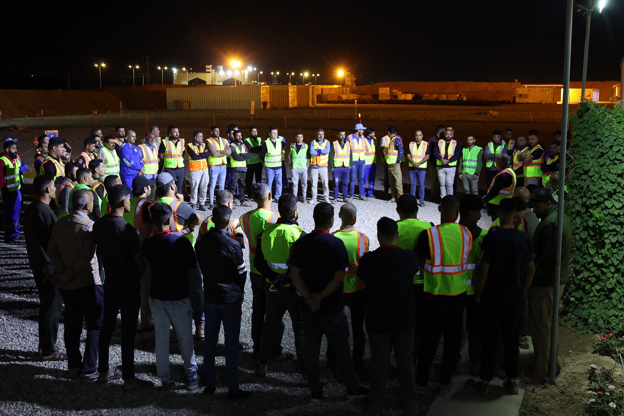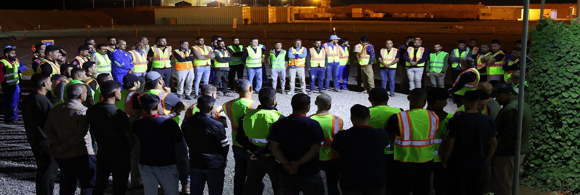
Fourth Seismic Crew
General information about the project
- The project area is characterized by its clear agricultural nature, with the exception of some areas near Al-Muwafaqiyah District and Hor Al-Dalmaj, which are characterized by saline soil.According to data derived from recent satellite imagery and surveys, the cultivated area reached approximately (3487) km², equivalent to 70% of the total project area. This area is mainly cultivated with wheat, and some farms also grow other summer crops.The project area also includes a number of population centers, including cities, districts, sub-districts, and scattered villages, most notably Al-Nu'maniyah District in the northeast of the area, Al-Fajr District in the south, and parts of Al-Hay District.The area also includes Al-Nu'maniyah military base, located near Al-Nu'maniyah District, which covers an area of approximately (6.5) km².
Program name / Country Northwest Al-Garaf / Iraq
Program Location / Governorate Wasit - Al-Diwaniyah
Beneficiary / MDOC
Implementing crew/ Fourth Seismic Crew
crew Type / Agricultural
Camp Type / Mobile - Caravan
Survey Type / (2D) Vibratory
Transition Date to the Program / 27/8/2025
Field Testing Date / 21/9/2025
Surveying Commencement Date / 27/9/2025
Registration Start Date / 30/9/2025
Registration End Date / Under implementation
Project Size / 3314 km/length
Total Number of Program Points / 66280 power point
Number of Points Recorded During 2025 / 4071
Size of Part Implemented During 2025 / 203.5 km/length
Program Completion Percentage / 6%