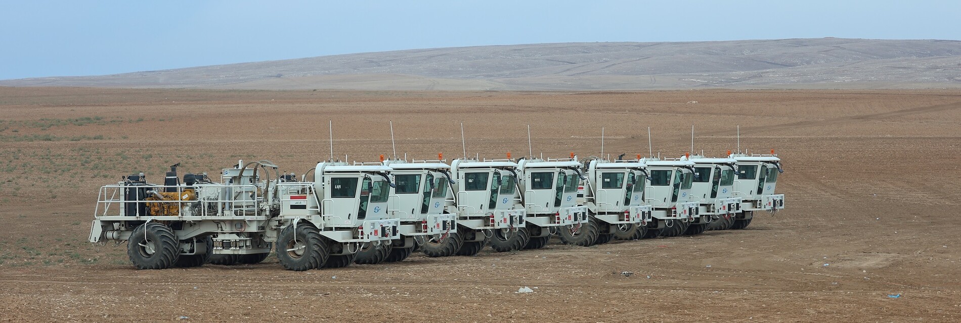
The eighth seismic crew
The 8th seismic crew
The program that the crew is currently implementing 3D Sasan Tala’far program
• General information about the program: -
The project is located in the northwestern part of Iraq within the administrative borders of Nineveh Governorate, the Tigris River is about 16 km east of the project and 28 km west of Mosul governorate. There are two drilled wells within the project area, they are Sasan 1 and Sasan 2.
Survey objectives
Updating seismic information for the region, compensating for what was lost, and obtaining seismic information with high degrees of coverage at the level of formations listed in the table below.
Point Formation Depth (M) Thickness (M) 1 Hartha 1300-2000 75-100
2 Butmah 2100-2700 300-400
3 Kurrachin 2500-3100 600-700
4 Chiaziri 3100-3800 500
5 Akkas 4500-4800 100-800
6 Khabour 5300-5600 2000
Total Depth = 6000 M
NORTHING EASTING ZONE NO. 4041454 235654 A 4066656 258178 B 4052047 274802 38 C 4035600 260643 D 4020898 276819 E 4014991 276860 F 4015155 239783 G 4037692 239629 H
The coordinates of the 3D Sasan-Tala’far program
• General statas about the program:
The beneficiary NOC (a national effort)
Project Name / Country 3D Sasan – Tala’far/ Iraq seismic survey type 3D Governorate Mosul The implementing crew the 8th seismic crew Program exploration date 14/7/2021
The field tests starting date 22/4/2022
starting date of the survey operations 03/04/2022 starting date of recording operations 25/4/2022 The project volume 690 km²
The total number of energy points 69,696
The number of points recorded during the year 31,131 points
The volume of the implemented part during the year 308 km2
Program completion rate 44%
Crew type vibrators
The camp type mobile / caravans